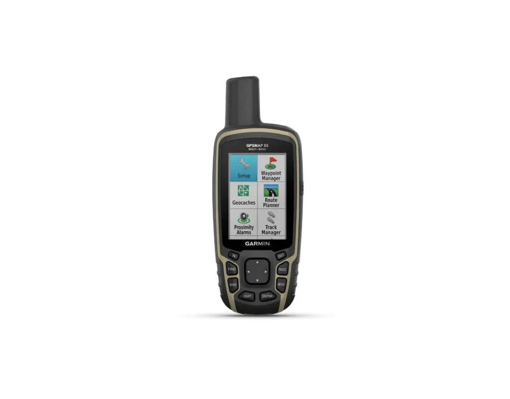
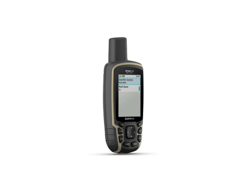
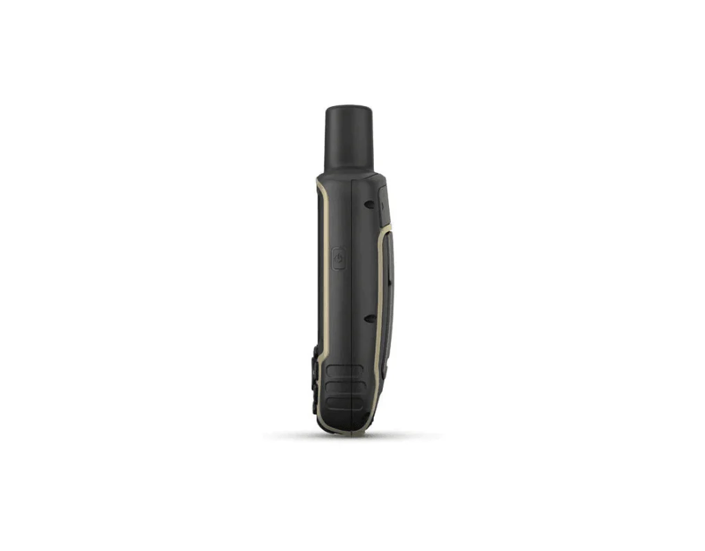
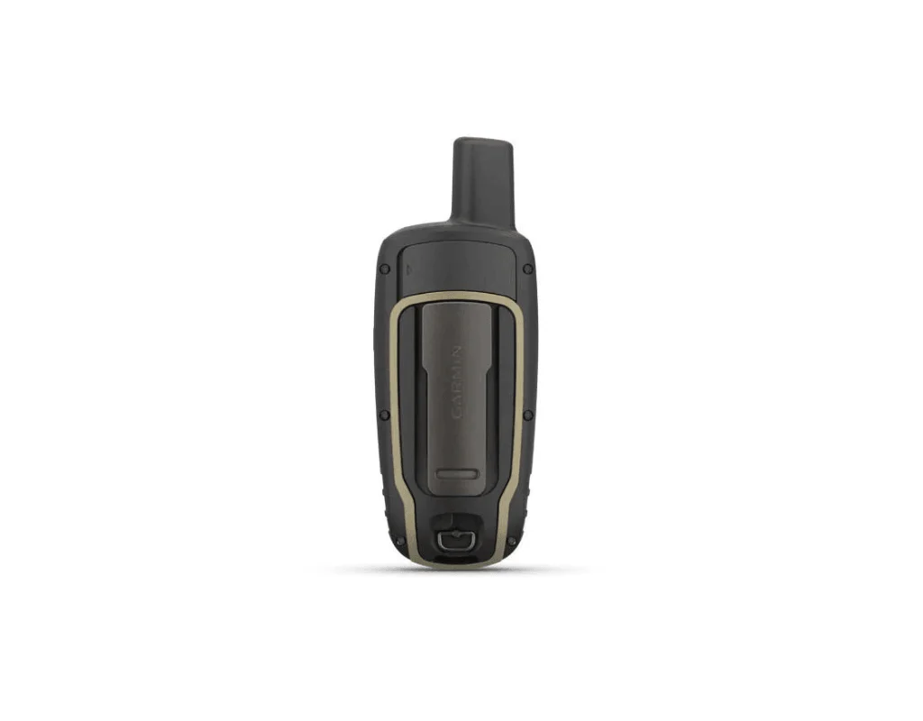
Garmin GPSMap 65
Original price was: $315.00.$248.50Current price is: $248.50.
Garmin GPSMAP 65 range is the latest GPS handheld range from Garmin and the first to offer multi-band technology from GPS, GLONASS, Galileo, QZSS and IRNSS. With these technologies integrated the GPSMAP 65 offers improved accuracy, particularly in hard to reach areas such as canyons, dense forests and steep mountains.
The Garmin GPSMAP 65 range is the first to receive and use multiple satellite navigation frequencies. Combined with a battery life of up to 16 hours in GPS mode the GPSMAP 65 range is a companion worth having out on the trail.
MULTI-BAND TECHNOLOGY
The GPSMAP 65 range receives and uses information from the GPS, GLONASS, Galileo, QZSS and IRNSS satellite systems resulting in increased accuracy no matter what kind of rugged environment you are in.
PRELOADED TOPOACTIVE EUROPE MAPS
TopoActive Europe maps are provided offering detailed views of street and off-road networks, waterways, natural features, and land use areas.
SMART NOTIFICATIONS
Pair the GPSMAP 65 with your smartphone to receive emails, text and alerts on your GPS handheld as they're received.
MICROSD SLOT
The MicroSD slot allows you to download alternative maps for use on the device.
GEOCACHING
Automatic updated from Geocaching Live will be received on the GPSMAP 65 including descriptions, logs and hints.
GARMIN EXPLORE APP
Download the free Garmin Explore app or use the website to plan your routes before you set off. You can setup waypoints, routes and tracks to sync with the GPSMAP 65.
GARMIN GPSMAP 65 PACKAGE INCLUDES
- GPSMAP 65 GPS Handheld
- USB Cable
- Caribiner Clip
- Documentation
Features
NAVIGATION
Built in navigational features such as current location, way point marking, preplanning of routes and trip information are available on this unit. Some models offer an altimeter and/or compass.
Specification
| GENERAL | |
| Dimensions | 6.1 x 16.0 x 3.6 cm |
| Weight | 217g with batteries |
| Display Size | 3.6 x 5.5 cm; 2.6-inch diagonal (6.6 cm) |
| Display Resolution | 160 x 240 pixels |
| Display Type | Transflective, 65K colour TFT |
| Battery Type | 2 AA batteries (not included); NiMH or Lithium recommended |
| Battery Life | Up to 16 hours |
| Water Rating | IPX7 |
| High Sensitivity Receiver | Yes |
| Interface | High-speed mini USB and NMEA 0183 compatible |
| Memory/History | 16 GB (user space varies based on included mapping) |
| MAPS & MEMORY | |
| Preloaded Maps | Yes (TopoActive Europe; routable) |
| Ability to Add Maps | Yes |
| Basemap | Yes |
| Automatic Routing | Yes |
| Map Segments | 3,000 |
| Birdseye | 250 BirdsEye Imagery Files |
| Storage and Power Capacity | Yes (32GB mac microSD card) |
| Waypoints/Favourites/Locations | 5,000 |
| Tracks | 200 |
| Track Log | 10,000 points, 200 saved tracks |
| Routes | 200, 250 points per route; 50 points auto routing |
| SENSORS | |
| GPS/GLONASS/GALILEO/QZSS/IRNSS | Yes |
| DAILY SMART FEATURES | |
| VIRB Camera Remote | Yes |
| Compatible with Garmin Connect Mobile | Yes |
| Smart Notifications on Handheld | Yes |
| OUTDOOR RECREATION FEATURES | |
| Point to Point Navigation | Yes |
| Compatible with Basecamp | Yes |
| Area Calculation | Yes |
| Hunt/Fish Calendar | Yes |
| Sun and Moon Information | Yes |
| Geocaching Friendly | Yes |
| Custom Maps Compatible | Yes (500 custom map tiles) |
| Picture Viewer | Yes |
| OUTDOOR APPLICATIONS | |
| Compatible with Garmin Explore App | Yes |
| Compatible with Garmin Explore Website | Yes |
| CONNECTIONS | |
| Wireless Connectivity | Yes - Bluetooth, ANT+ |


Reviews
There are no reviews yet.